Golf Course
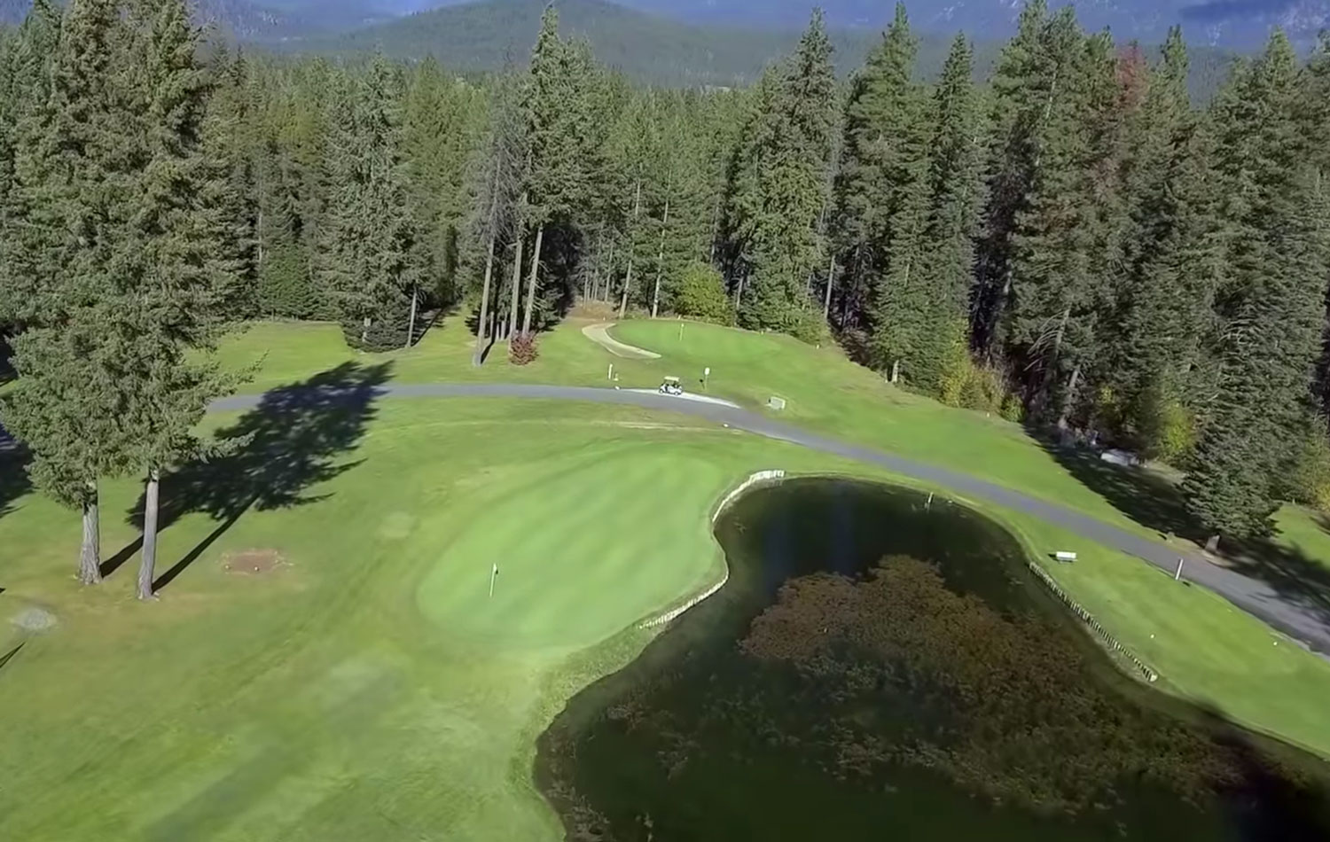
At almost 5,900 yards and with a slope rating of 122 off the championship tees, Kahler Mountain Club has something to offer every skill level and ability. The extraordinary layout boasts water hazards on 7 holes as well as 20 bunkers, an aquatic driving range and a practice putting green.

Athletic Club
The KMC Athletic Club offers athletic facilities including a year-round heated indoor swimming pool, hot tub, cedar sauna, weightlifting room, exercise room, spa services room, a basketball/racquetball court, full men’s and women’s lock rooms, and outdoor patio with bbq.
Lodging
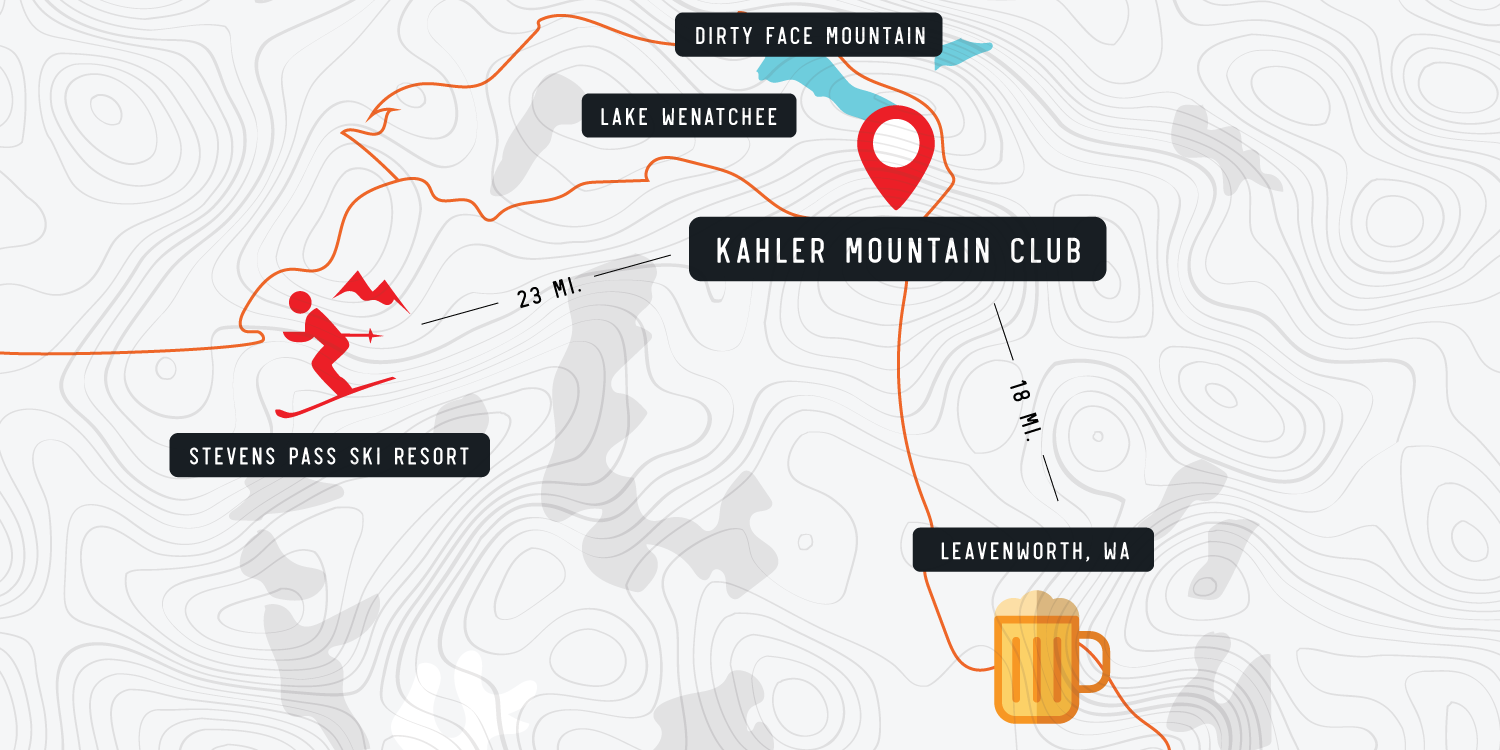
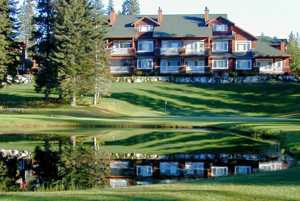
Treat yourself to a luxury maountain getaway in one of our beautiful condos or townhomes. Kahler Mountain Club (KMC) is situated on the eastern slopes of the Cascade mountains. KMC is ideally located next to the picturesque shores of Lake Wenatchee, and just a short 30 minute drive to both Steven’s Pass and Leavenworth.
Wildflour Restaurant
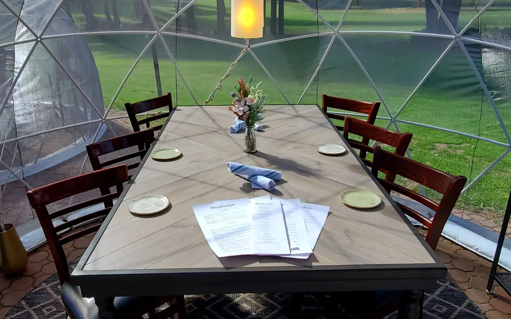
Located on site at the Kahler Mountain Club, the Wildflour restaurant delivers seasonal Northwest handcrafted pasta in a mountain setting.